
Conquer Ingleborough: Solo Hiking Adventure in the Yorkshire Dales
- Kate
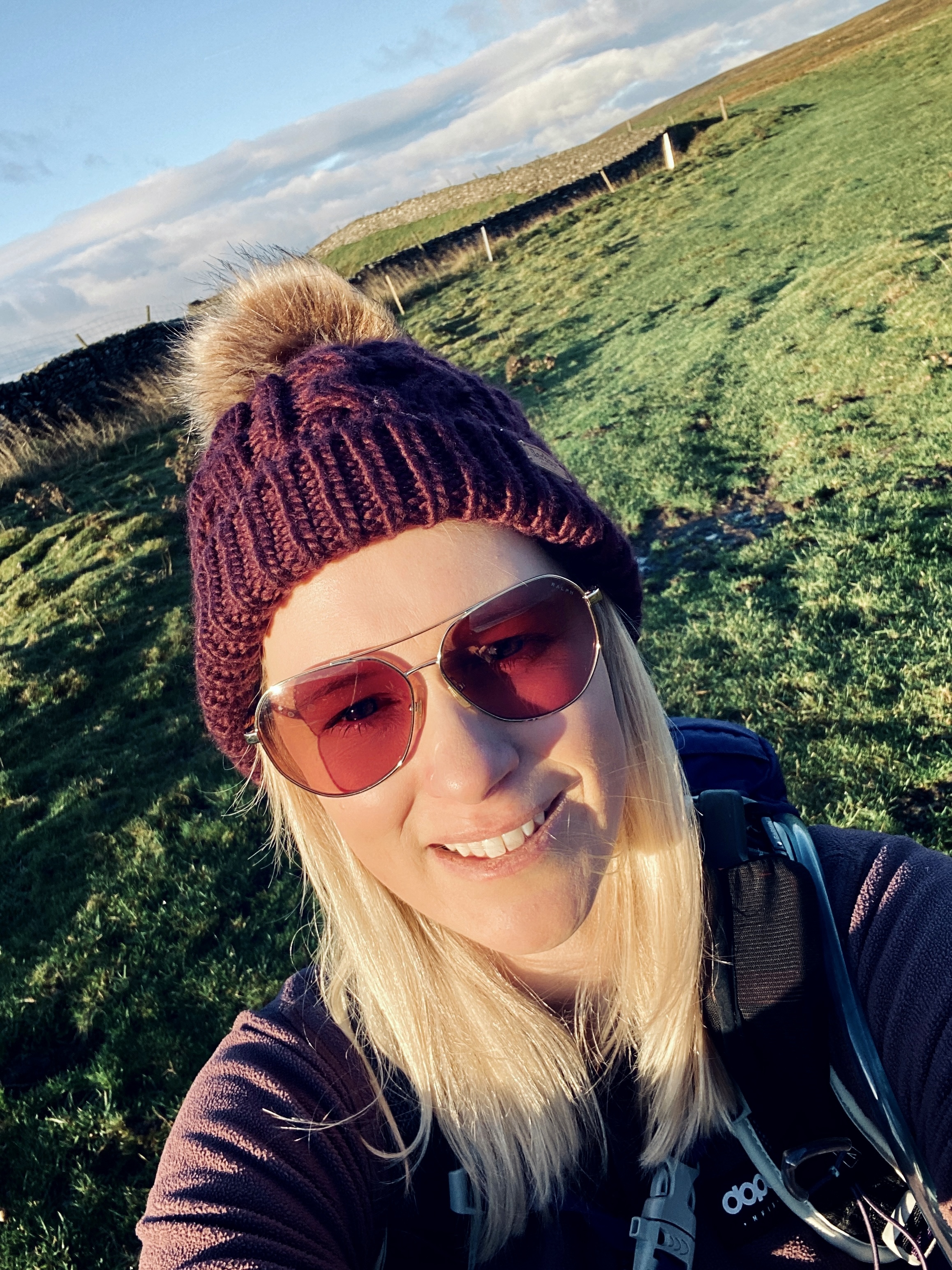
- Aug 15, 2025
- 4 min read
Updated: Sep 10, 2025
Distance: Approx. 10 miles (16 km) circular
Time Required: 4 hours
Elevation Gain: ~645 metres
Difficulty: Moderate
Facilities: Public toilets and refreshments at the car park
Best For: Scenic views, historical landmarks, and varied terrain
Weather Note: Conditions on the summit can be harsh, especially in winter. Be sure to bring warm layers, waterproofs, and suitable footwear.
Starting point: Public car park Clapham, Postcode: LA2 8EQ

This post may contain affiliate links. I only ever recommend products that I have personally tried, tested, and genuinely believe in. If you purchase through one of my links, I may earn a small commission at no extra cost to you. This helps support my blog and allows me to keep sharing honest reviews and hiking content. Thank you for your support!
Why Ingleborough Deserves a Spot on Your Hiking Bucket List
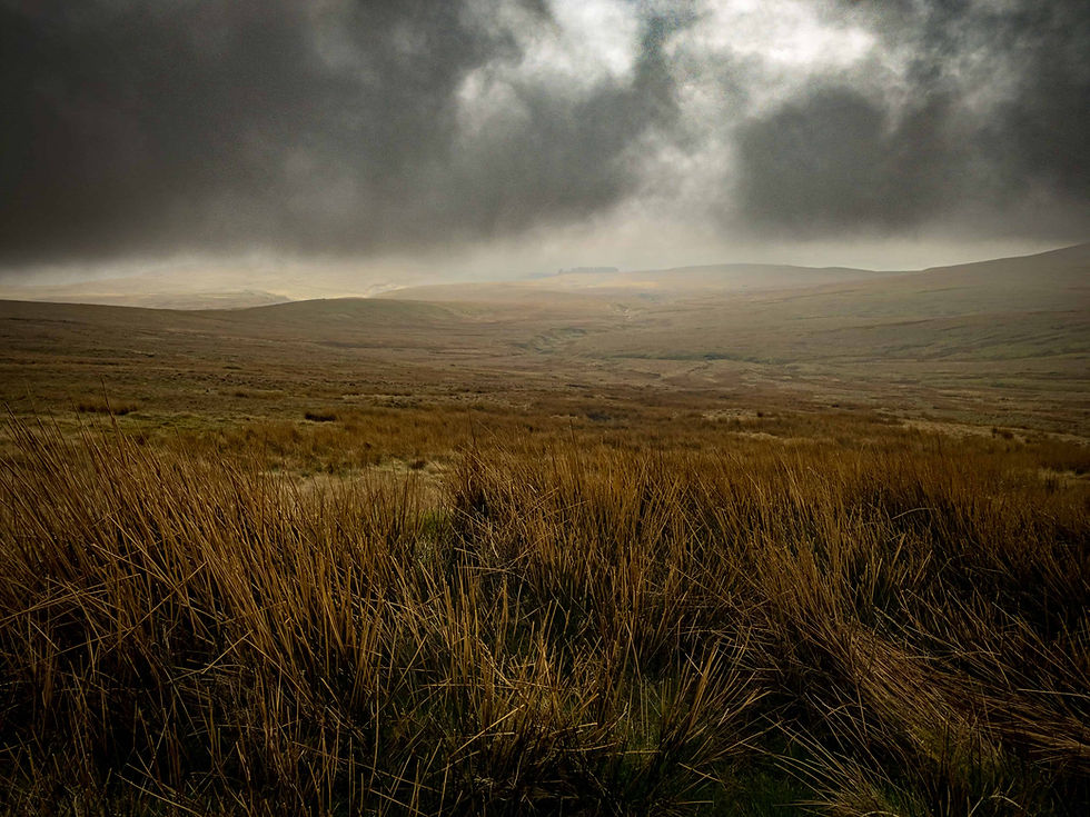
Ingleborough stands tall as one of the Yorkshire Three Peaks—and the second-highest mountain in the Yorkshire Dales — at 723 m—offering a perfect blend of physical challenge, rich history, and panoramic views. As a Site of Special Scientific Interest and National Nature Reserve, it's steeped in natural beauty, archaeology, and ancient landscapes.
From dramatic limestone gorges to plateau panoramas and Iron Age hill fort remnants, hiking Ingleborough is an unforgettable solo adventure—and one of the best things to do in the Yorkshire Dales.
More Hiking Blog Posts:

Ingleborough Hike Highlights
1. Starting from Clapham
Your day begins near Clapham (LA2 8EQ), where there's a public car park, toilets, café, pub, and shop—perfect for a final coffee pit‑stop. Note: once the hike begins, facilities vanish, so pack essentials like water and snacks
2. Ingleton Estate Nature Trail (~3 km)
Follow footpaths from the church entrance through a beautifully landscaped trail with lake views and woodland follies. Entry to the estate costs around £2.50 for adults, or a free bypass route is available if preferred. You can detour through Ingleborough Cave, a self‑guided, well-lit subterranean walk (~500 m), available for about £13 including trail access
Hiking Routes
3. Trow Gill Gorge
Next comes the dramatic Trow Gill—a narrow limestone ravine that may require scrambling over boulders, surrounded by towering rock walls, and accompanied by the soothing sound of a stream. This is one of the most memorable and adventurous sections of the hike.

4. Ascend to the Summit
From the gorge, the true Ascent begins—roughly 3 km of steep terrain, usually taking around 1.5 hours. The climb feels continuous—first through grass, then a rocky stair-like slab, and finally to the summit plateau
5. At the Top
At the summit, you're greeted with sweeping views across the Dales—and on clear days, even as far as the Lake District, the Howgills, and possibly the sea. There’s a summit shelter where you can pause, refuel, and soak in you're well-earned vantage point
6. Descent & Long Scar
Descending is just as demanding—steep, rocky, and needing focus. The descent takes about 1.5 hours and opens out to vast, peaceful expanses. You'll then traverse Long Scar, a limestone pavement section around 4.5 km long, rewinding you toward the estate with far-reaching views and a gentler pace

Route Variations & Geological Wonder
Clapham–Estate Route: As described above—a varied, scenic ascent incorporating Trow Gill and Ingleborough Cave
Ingleton Approach: From Ingleton via Fell Lane and Crina Bottom, a quieter route up through limestone cliffs
Horton-in-Ribblesdale Descent: A gradual descent crossing limestone pavement, with views of Norber Boulders ending near Norber before returning—an excellent circular option
Chapel-le-Dale Route: A shorter, steeper ascent (~3 mi) that weaves through caves like Great Douk Cave and Meregill Hole—perfect for explorers comfortable with some scrambling
Wild Ingleborough: The plateau is rich in cave systems (e.g. White Scar Caves), Roman/Iron Age remains, and dramatic landscapes—well worth an addition to your hike

Use code SELK-GOINGSOLO15 for 15% off
Tips for Solo Hike Safety & Navigation
Navigation: Download the GPX route into the OS Maps App and carry a paper OS map—technology is great, but a compass and map are irreplaceable backups
Gear Up: Wear sturdy, waterproof boots and bring trekking poles—especially needed in Trow Gill and on rocky descents. Layered clothing, a headlamp, first aid, and hydration are must-haves.
Refreshments: There are no supplies on the trail. Pack enough water, snacks, and maybe a hot drink to enjoy at the summit.
Weather & Timing: Check the Met Office or MWIS forecasts, plan for shorter winter daylight, and aim to be off the summit well before dusk.
Leave Someone Informed: Share your route and expected return time with a friend—especially when hiking solo.
Leave No Trace: Stick to paths and carry out all your litter—let’s keep the Dales wild and clean for everyone

Use code SHESGOINGSOLO30 for 30% off AllTrails+
Final Thoughts for Hiking Ingleborough
The Ingleborough hike holds everything we solo hikers treasure: varied terrain, rich geology, panoramic views, and an adventurous edge. It’s a challenging but advantageous way to connect with the Yorkshire Dales, test your skills, and return with an unforgettable sense of achievement. Ready to lace up your boots and discover this classic It's?
Let me know if you'd like a downloadable checklist, winter variant tips, or seasonal highlights included!


Comments