
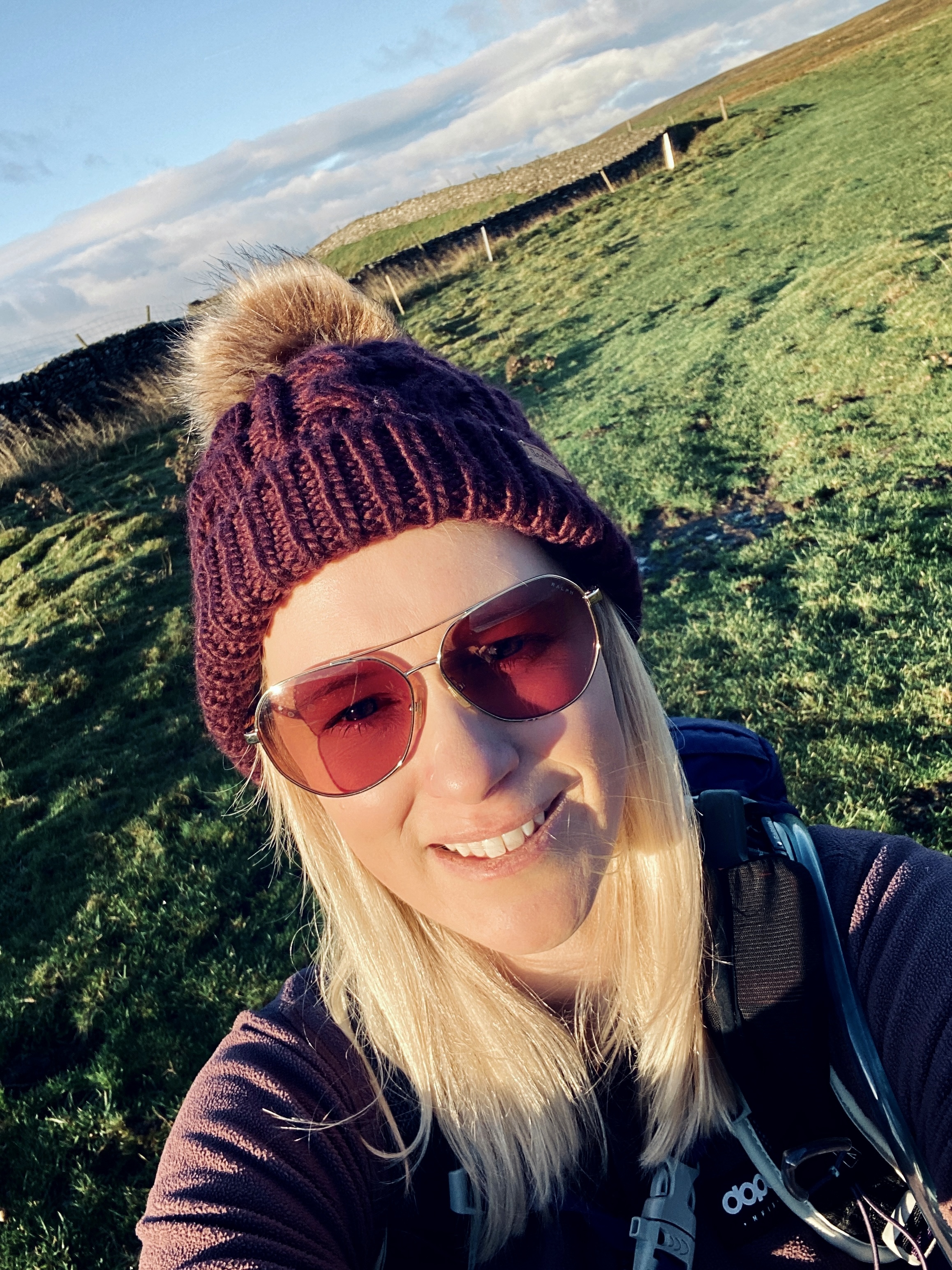
Discover the Fairfield Horseshoe: A Scenic Ridge Walk in the Lake District
- Kate
- May 7, 2025
- 3 min read
Updated: Sep 10, 2025
Distance: Approx. 10 miles (16 km) circular
Time Required: 5.5–7 hours
Elevation Gain: ~1,059 metres
Difficulty: Moderate to Challenging
Facilities: Limited (tea room at Rydal Hall); no public toilets on the route
Best For: Classic ridge walking, panoramic Lake District views, and ticking off multiple Wainwrights
Weather Note: The summit of Fairfield is flat and can be disorienting in poor visibility. Always bring a map, compass, waterproofs, and layers.
Starting Point: Rydal Hall, near Ambleside (Postcode: LA22 9LX)

If you're looking for a rewarding and scenic ridge walk in the heart of the Lake District, the Fairfield Horseshoe is an iconic choice. This circular route links eight Wainwright summits in a horseshoe-shaped ridgeline surrounding the Rydal Valley. With commanding views, varied terrain, and a satisfying loop, it’s a top-tier hike for seasoned walkers.
This post may contain affiliate links. I only ever recommend products that I have personally tried, tested, and genuinely believe in. If you purchase through one of my links, I may earn a small commission at no extra cost to you. This helps support my blog and allows me to keep sharing honest reviews and hiking content. Thank you for your support!

Getting There and Facilities
The walk begins at Rydal Hall, located just north of Ambleside. Paid parking is available on-site (approximately £10 per day; please call ahead to confirm). The Rydal Hall tea room provides refreshments before or after your hike. Ambleside, a short drive away, offers additional accommodation, eateries, and gear shops.
Essential Gear for Your Hike
Before embarking on your adventure, ensure you have the right gear. Here are some essentials:
Footwear: Sturdy hiking boots with good grip.
Clothing: Waterproof jacket and warm layers.
Navigation Tools: Map, compass, or GPS device.
Hydration: Plenty of water to stay hydrated.
Snacks: Energy-boosting snacks for the trail.
More Hiking Blog Posts:
Hiking the Fairfield Horseshoe – Overview and Directions
Starting the Ascent
The hike starts behind Rydal Hall and ascends steeply up Nab Scar via a stone-pitched path. This first climb quickly rewards you with sweeping views of Rydal Water, Grasmere, and Windermere.
Enjoying the Ridge
Continue along the broad grassy ridge to Heron Pike and then to Great Rigg. The walking here is relatively gentle and ideal for enjoying the unfolding views. Before reaching Fairfield, an optional detour to Stone Arthur can be taken.
Reaching the Summit
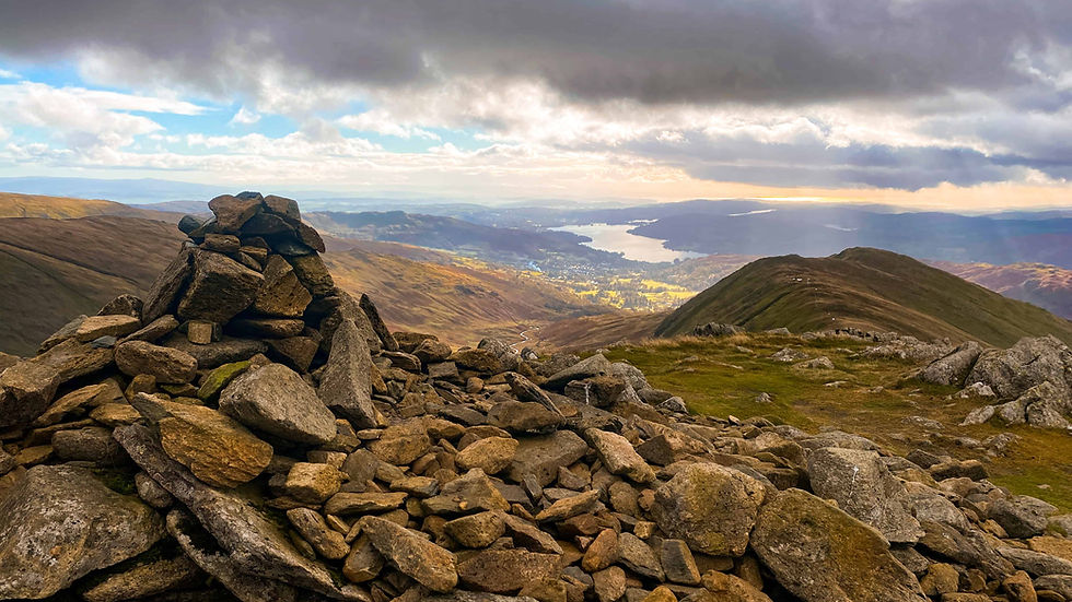
From Great Rigg, the path steepens to reach Fairfield, the walk's highest point (873m). The summit is broad and flat, with cairns marking the top. On a clear day, you’ll enjoy panoramic views of Helvellyn, the Langdales, and the Coniston range.
Important: If visibility drops, this plateau can be disorienting in the cloud—use a compass or GPS.
More Hiking Routes:
The Return Journey
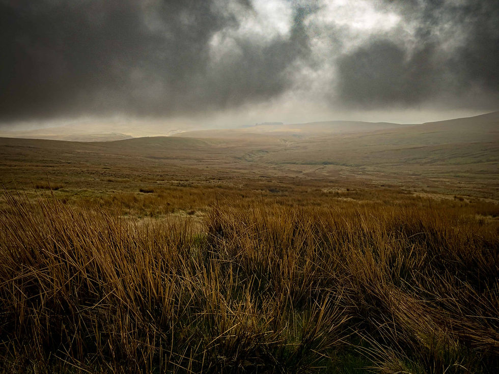
The return leg follows the ridgeline over Hart Crag, Dove Crag, High Pike, and Low Pike. The terrain becomes rockier and requires sure-footedness, especially after rain. Take care here, especially during the descent.
Winding Down
The trail gently descends through farmland and woodland, then returns to Rydal Hall. This final section is much easier to navigate and a pleasant way to finish the circuit.

Final Thoughts
The Fairfield Horseshoe is a classic Lake District hike that packs in dramatic scenery, varied terrain, and multiple peaks. While the route is well-trodden and straightforward in good weather, poor visibility at the summit and exposed ridges require good navigation and preparation. For experienced walkers, it offers one of the most satisfying full-day outings in the region.
Subscribe to my monthly newsletter for more hiking routes, gear reviews, and adventure tips—delivered straight to your inbox! Click here.
Are you new to wild camping? Check out The Beginner’s Guide to Wild Camping for everything you need to get started.
Do you have any questions or thoughts? Feel free to contact me here—I’d love to hear from you.
If you haven’t already, consider downloading the Ordnance Survey App. It lets you import GPX routes directly and mirrors the paper maps you should always carry as a backup. I use this app to plan all my hikes, and it’s an essential tool for navigating the great outdoors.


Comments