
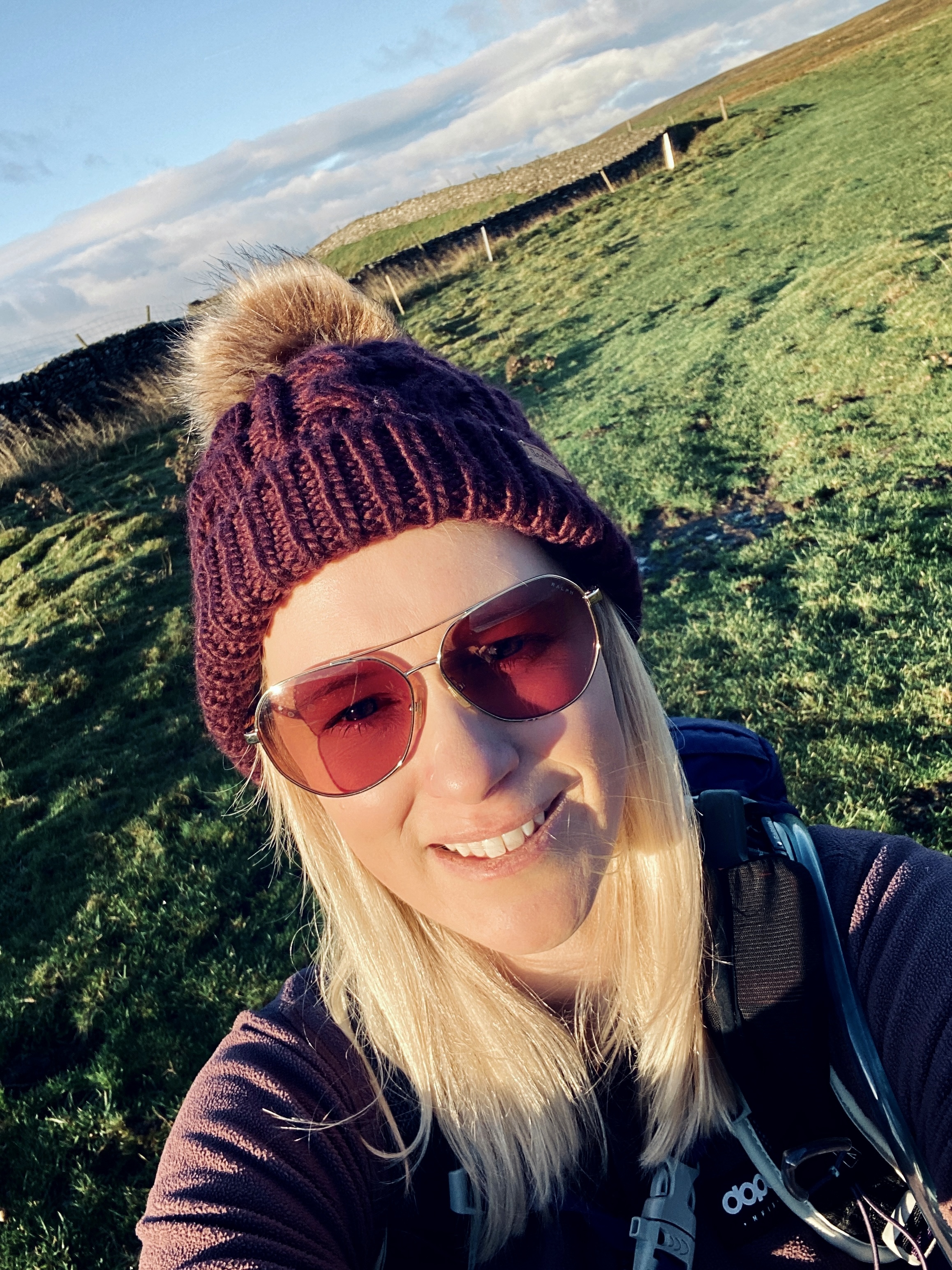
Pen-y-Ghent: Yorkshire Dales Classic Hike
- Kate
- Oct 29, 2025
- 3 min read
Updated: Nov 25, 2025

Pen Y Ghent Overview
Location: Horton in Ribbledale
Route Type: Circular walk
Distance: ~10 km
Time: ~3.5 hours (depending on pace and stops)
Ascent: 471m
Difficulty: Moderate
Terrain: Fairly good paths and a bit of scrambling, but not technical.
Start/Finish Point: Horton in Ribblesdale - Golden Lion Pub has parking for this hike - BD24 0HB
Facilities: There is a toilet at the car park, and it's a great pub for a drink afterwards.

Preparing for the Pen Y Ghent Hike
Route Map & GPX: You can download the GPX file below to use with the Ordnance Survey app (or a similar app), as well as pair it with a paper map to ensure safe navigation.
Introduction: Why Pen Y Ghent Is Special
There’s something special about walking up a hill you can see from your car as you arrive—but every step reveals more than the outline suggests. The Pen-y-Ghent hike is exactly that kind of special: the smallest of Yorkshire’s Three Peaks (so it’s a “starter” mountain in some ways), but full of character, geology, vistas, and that satisfying mix of challenge + reward. Here’s how my walk went (and how you can do it too).
More Hiking Routes:

The Route: From Horton to Hull Pot and back
Setting off from Horton
Starting from the car park, head out past the village, crossing a small bridge/stream, with the Golden Lion pub behind you. The village is quiet in the morning, the skies open, and Pen-y-Ghent looms ahead—this steady anticipation is one of the joys.
Use SHESGOINGSOLO10 for 10% off VivoBarefoot Shoes
Brackenbottom Farm & Initial Climb
The path climbs gradually through fields, keeping close to walls. You get your first real sense of change in landscape here: limestone underfoot, open sky, sheep grazing. It’s relatively gentle at first, giving time to warm up.

Joining the Pennine Way & Final Push to Summit
After the steeper walls and stiles, there’s a steeper section, rockier and with steps. This is where the legs begin to feel it. A short scramble near the top (nothing too technical, but careful footing is needed). At the top, there’s a trig point, a shelter, benches, sweeping views of Whernside, Ingleborough, and far-reaching moors. Clouds drift in, the wind picks up, but the panorama is worth it.


Descent via Hunt Pot & Hull Pot
From the summit, head down via the Pennine Way. Passing by Hunt Pot, then detouring to Hull Pot is a highlight—a dramatic natural cavern / crater-like formation (especially striking after rain). Be cautious; edges aren’t always fenced.

Final Stretch along Horton Scar Lane
The return along the walled Horton Scar Lane offers a gentler descent, more limestone scenery, walls, gates, and some grazing fields. It’s a peaceful way to wind down after the summit’s exertion. Then back into Horton, a pub or café call is usually unavoidable.


Final Thoughts
Pen-y-Ghent is brilliant for a first mountain walk, or just a day out. It’s satisfying but not overwhelming; scenic, varied, and you get that summit-high feeling without needing alpine gear. Plus, the post-walk pub is a reward that never feels small.
If I came back, I might take a slightly different return to include Plover Hill for more ridge walking, or spend more time at Hull Pot when the weather’s good.


Comments