
My First Solo Hike - Wharfedale - Yorkshire Dales
- Kate
- Mar 8, 2022
- 4 min read
Updated: Feb 23, 2025
Location - Simons Seat, Valley of Desolation, and Bolton Abbey
Distance - 14km
Hours - 4-5 hours
Ascent - 495m
Route Map GPX (For OS Maps) Download:
She's Going Solo may receive commissions for links included in articles to Amazon and other affiliate partners. Recommendations are not given lightly, and all recommended products have been tried and tested.

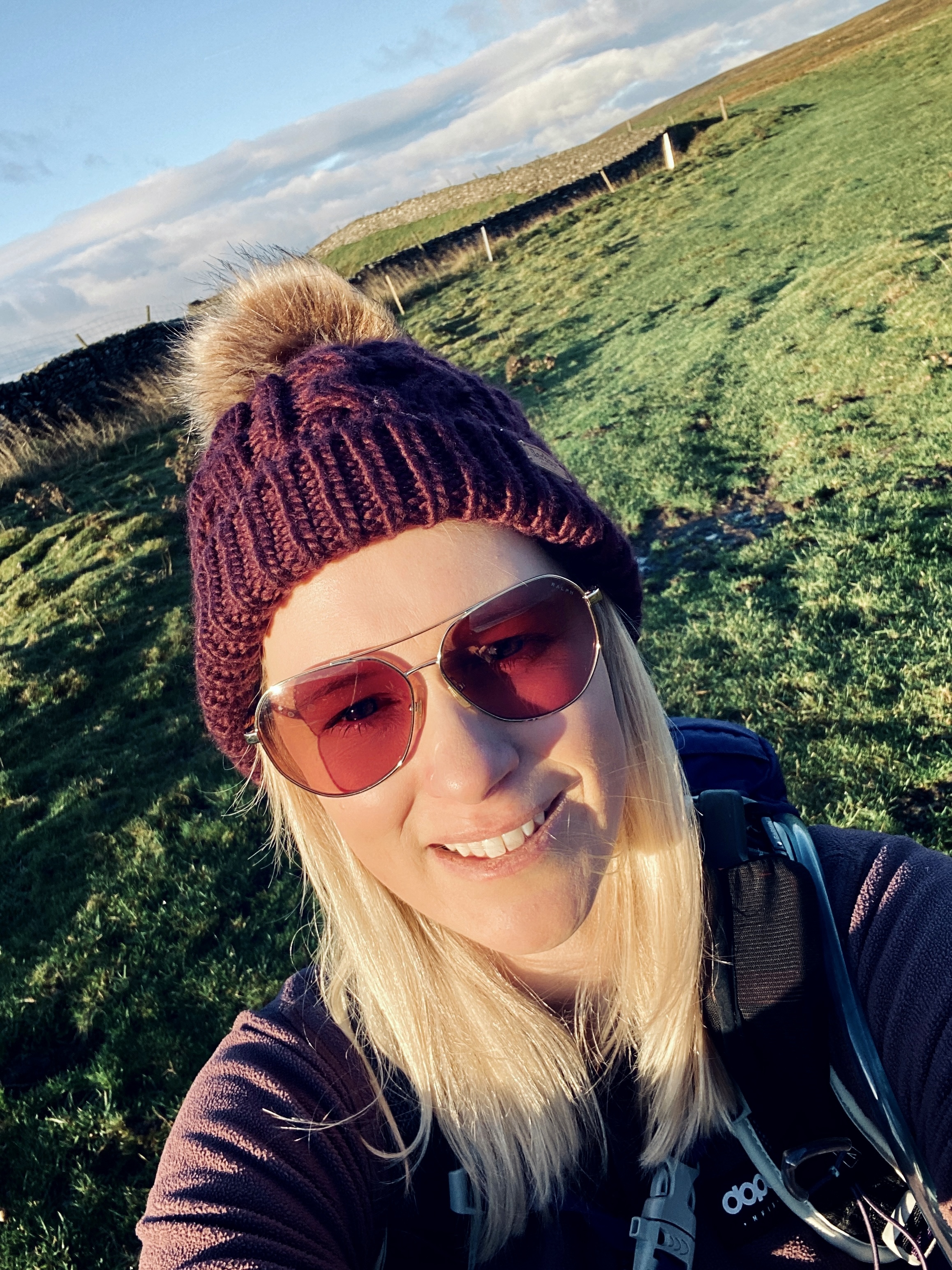
After a long year of lockdowns and local walks due to COVID restrictions, my first solo hike in the Yorkshire Dales felt like a breath of fresh air—literally. As soon as travel was allowed, I knew I had to escape into nature on my own. Having spent my childhood camping in Wharfedale, it seemed like the perfect place to start. So, I planned my route using the OS Maps app, packed my bag (mostly with sweets), and set off for an unforgettable adventure.

Starting the Solo Hike in The Yorkshire Dales: Barden Bridge to Simons Seat
I parked at Barden Bridge, where a handy layby provided a convenient spot to leave the car. The hike began along the scenic River Wharfe towards Howgill, with the sun making welcome appearances throughout the day. The real challenge, however, began with a steep ascent up Barden Fell through a dense forest on a solid 4x4 track.
I quickly realized how out of practice I was—my heart pounded as I pushed myself upwards. But with every step, the reward became clearer: trickling waterfalls, chirping birds, and the sheer joy of being alone in nature. Eventually, I emerged from the trees onto the open moorland, following a well-trodden path leading to the rocky summit of Simons Seat (485m). The panoramic views from the top were nothing short of breathtaking

The History of Simon Seat
Legend has it that Simon Seat is named after Simon Magus, one of the wise men. Regardless of its origins, standing there alone, surrounded by rolling fells and vast skies, felt like true freedom.
More Hiking Blog Posts:
The Joy of Solo Hiking in the Dales
As I soaked in the scenery, I was reminded of my travels in Africa nearly two decades ago. Hiking alone gave me the space to move at my own pace, stop for photos, and truly appreciate the sights and sounds around me. Without anyone else dictating the route or schedule, I could fully embrace the solitude and peace that solo hiking offers.

Descending Through the Valley of Desolation
Heading back down Barden Fell, I entered the intriguingly named Valley of Desolation, which owes its eerie title to a destructive storm in 1826. A hidden waterfall marked on the map proved to be a serene and secluded spot—perfect for a quiet break. Had I not been eager to explore more, I could have easily spent hours there, simply listening to the cascading water and birdsong.
Bolton Abbey - Link here


Bolton Abbey Estate & The Strid
Continuing downhill, I reached Bolton Abbey Estate, where facilities like toilets and a café offer a welcome rest stop. From there, the trail follows the River Wharfe, leading past one of the area's most famous natural wonders: The Strid. This dramatic section of the river forces water through a narrow rock formation with incredible power—both mesmerizing and a little terrifying to watch.
The final stretch of the hike is a gentle stroll back to Barden Bridge, crossing a turreted aqueduct that carries water from the reservoirs to West Yorkshire’s cities.

Why This Is the Perfect First Solo Hike
If you’re new to solo hiking in the Yorkshire Dales, this route is a fantastic choice. It offers a mix of challenging climbs, rewarding views, and proximity to civilization, making it ideal for building confidence while hiking alone. Plus, the variety of landscapes—from rivers and waterfalls to forests and moorland—ensures there’s always something new to admire.
Important Note: At the time of writing, dogs are not allowed on Barden Moor, so be sure to check local regulations before setting out.
For those considering their first solo hike in the Yorkshire Dales, I couldn’t recommend this route more. It’s an incredible way to experience the freedom of hiking alone while staying close enough to amenities for peace of mind.
Would you take on this hike solo? Let me know in the comments!

Subscribe to my monthly newsletter for more hiking routes, gear reviews, and adventure tips—delivered straight to your inbox! Click here.
Are you new to wild camping? Check out The Beginner’s Guide to Wild Camping for everything you need to get started.
Have any questions or thoughts? Feel free to get in touch with me here—I’d love to hear from you.
If you haven’t already, consider downloading the Ordnance Survey App. It lets you import GPX routes directly and mirrors the paper maps you should always carry as a backup. I use this app to plan all my hikes, and it’s an essential tool for navigating the great outdoors.


Comments