
Conquer the Majestic Helvellyn: Discover the No-Ridge Hiking Route
- Kate
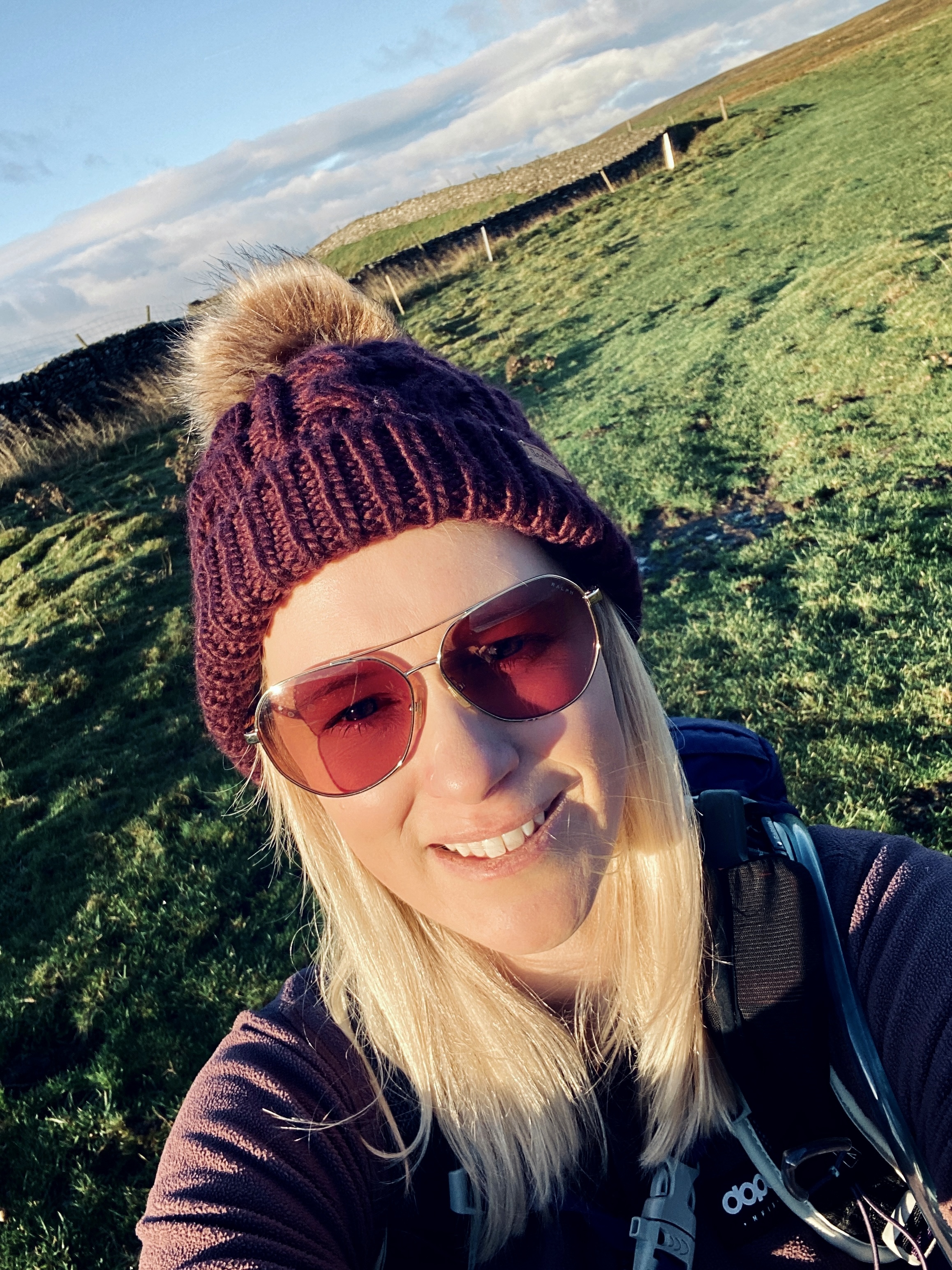
- Feb 21, 2025
- 5 min read
Updated: Sep 11, 2025

Helvellyn Hike Overview
Location: Lake District, Cumbria
Route Type: Circular walk (no ridge option)
Distance: ~14 km (8.7 miles)
Ascent: 909m
Time: 5–6 hours (depending on pace and stops)
Difficulty: Moderate
Wainwright Summits: Helvellyn, Lower Man, Whiteside
Terrain: Well-trodden paths, grassy ridges, some steep ascents, no exposed ridges
Start/Finish Point: Swirls Car Park (CA12 4TW) - Click to go straight to Google Maps
Facilities: Pay-and-display car park, toilets, nearby cafés and pubs in Thirlmere and Glenridding

The Lake District, nestled in the heart of the United Kingdom, is a haven for outdoor enthusiasts, offering awe-inspiring landscapes, serene lakes, and rugged mountain peaks. Among these peaks, Helvellyn stands tall at 950 meters, making it the third-highest mountain in the region. Known for its jaw-dropping views and diverse hiking routes, Helvellyn is a must for any hiker. If you're looking for an accessible way to summit without tackling the dangerous scrambles, the non-ridge hiking route is the perfect choice.
This post may contain affiliate links. I only ever recommend products that I have personally tried, tested, and genuinely believe in. If you purchase through one of my links, I may earn a small commission at no extra cost to you. This helps support my blog and allows me to keep sharing honest reviews and hiking content. Thank you for your support!
Why Choose the Non-Scramble Hiking Route to Helvellyn?
Helvellyn is a popular destination for both seasoned trekkers and beginners. While many of its routes involve scrambling—challenging and even daunting for many—the non-scramble route offers a safer yet equally rewarding experience. This makes it the ideal path for newcomers to hiking or those who prefer a gentler ascent. The non-scramble route offers a more relaxed ascent, providing stunning views of the surrounding natural beauty, including cascading waterfalls, lush woodlands, and panoramic vistas of the Lake District. This is ideal for solo hikers who are concerned about navigating on their own.

Section 1: Starting Point - Wythburn Car Park (CA12 4TW)
Length: 2 km
Elevation Gain: 100 meters
Your adventure begins at the Wythburn car park, located at the southeast end of Thirlmere, one of the most picturesque lakes in the Lake District. The car park is pay-and-display (coins only), though, as I found, the machine might not always be operational. From here, follow the well-marked trail that gently winds through lush woodlands. As you ascend, the enchanting view of Thirlmere and its surrounding peaks will gradually come into view.
The path is easy to follow and suitable for hikers of all levels. It allows you to take your time, enjoy the landscape, and listen to the calming sounds of nature. It's a peaceful start to an unforgettable journey.

Section 2: The Ascent via Raise Beck to Grisedale Tarn
Length: 2 km
Elevation Gain: 574 meters
As you venture towards Raise Beck and Grisedale Tarn, the scenery becomes even more breathtaking. The sounds of the flowing beck beside the path add to the tranquil atmosphere, making this segment feel genuinely immersive. However, be prepared—during my hike, the stone path was frozen in parts, which could be treacherous. I highly recommend micro-spikes for additional traction, especially when navigating icy patches.
While the trail is manageable for most hikers, the terrain does involve some steep sections, so it's essential to pace yourself and take breaks when needed. The mesmerising landscape, with its frozen streams and waterfalls, will keep you motivated as you head toward Grisedale Tarn.


Section 3: Grisedale Tarn to Dollywaggon Pike
Length: 2 km
Elevation Gain: 284 meters (to 858m)
Upon reaching Grisedale Tarn, you'll encounter a flat section that allows you to catch your breath and enjoy a well-earned break. In winter, the rising sun casts a golden glow over the tarn, creating an almost magical atmosphere. After resting, prepare for the steep ascent to Dollywaggon Pike—a challenging stretch that climbs nearly 300 meters in a short distance.
This section follows a well-maintained zig-zag path, but the effort required to summit can still be quite strenuous. However, once you reach the top, the stunning views of Glenridding and the surrounding valleys make the effort worthwhile. You'll be rewarded with a sense of accomplishment and awe at the sweeping vistas.
More Hiking Blog Posts:

Section 4: Dollywaggon Pike to Helvellyn Summit
Length: 3 km
Elevation Gain: 90 meters (to 948m)
From Dollywaggon Pike, the route to Helvellyn flattens out, providing a steadier ascent. As you walk along the wide path, you'll be treated to panoramic views over both sides of the mountain, offering a 360-degree experience. The summit of Helvellyn may seem far off at first, but it's not long before you find yourself standing at the top, where the sense of achievement is indescribable.
It's worth noting that the summit may appear closer when you reach the shelter at the top, but the actual summit cairn lies a bit further on. The shelter is a great spot to rest, enjoy a snack, and absorb the spectacular views.
Hiking Routes
On a crisp winter day, the snow-covered landscape adds a magical touch. The surrounding fells, blanketed in white, sparkle under the sun, creating a serene and almost otherworldly ambience. Standing at the summit, it's impossible not to feel a deep connection to nature and a sense of wonder at the beauty of the world below.

Section 5: The Descent – Returning to Wythburn Car Park
Length: 4 km
Elevation Loss: 700 meters
The descent takes you back to the Wythburn car park, though be prepared—it's much steeper than the ascent. The trail down is short but can be tough on the knees due to the steepness. If you have walking poles, I strongly recommend using them in this section to help with stability and to ease the impact on your joints.
Though the descent is challenging, the stunning views of Thirlmere below provide a rewarding distraction. Before long, you'll be back at the car park, where you can kick off your boots and relax, knowing you've conquered one of the most iconic peaks in the Lake District.

Conclusion: Helvellyn Hiking Route, an Adventure to Remember
Conquering Helvellyn is an unforgettable adventure that will stay with you for a lifetime. The stunning landscapes, the incredible panoramic views from the summit, and the sense of accomplishment as you reach the top make it an experience worth every step. Whether you're an experienced hiker or a novice looking to challenge yourself, Helvellyn's non-scramble route provides the perfect balance of adventure and accessibility.
So, lace up your boots, embrace the journey, and embark on a hike to the top of Helvellyn. The memories you create on this majestic mountain will last a lifetime.
Subscribe to my monthly newsletter for more hiking routes, gear reviews, and adventure tips—delivered straight to your inbox! Click here.
Are you new to wild camping? Check out The Beginner’s Guide to Wild Camping for everything you need to get started.
Do you have any questions or thoughts? Feel free to contact me here—I’d love to hear from you.
If you haven’t already, consider downloading the Ordnance Survey App. It lets you import GPX routes directly and mirrors the paper maps you should always carry as a backup. I use this app to plan all my hikes, and it’s an essential tool for navigating the great outdoors.


Comments